
Grid and geometry#
Define the model dimensions, grid type, refinement, and SPE11C geometry.
grid#
Type: string
Accepted values: cartesian, tensor, corner-point
Selects the grid geometry.
cartesianUses one cell count in each direction.
tensorUses refinement arrays to divide each direction into regions.
corner-pointUses lateral refinement arrays and either 11 or 18 geological levels in
z_n. The layer geometry is taken from the bundled reference meshes.
grid = "corner-point"
dims#
Type: array of three positive numbers
Units: m
Sets model length, width, and depth in x, y, and z order.
dims = [8400.0, 5000.0, 1200.0]
x_n#
Type: non-empty array of positive integers
Sets x-direction cell counts or regional refinement, depending on grid.
x_n = [420]
y_n#
Type: non-empty array of positive integers
Sets y-direction cell counts or regional refinement. SPE11C commonly uses one value for each lateral region.
y_n = [30, 40, 50, 40, 30]
z_n#
Type: non-empty array of positive integers
Sets z-direction cell counts or refinement. For corner-point grids, use an array with 11 or 18 entries. Each entry sets refinement within one geological level.
z_n = [5, 3, 1, 2, 3, 2, 4, 4, 10, 4, 6, 6, 4, 8, 4, 15, 30, 9]
elevation#
Type: non-negative number
Units: m
Applies to: SPE11C
Sets the maximum elevation difference of the arch in the y direction relative to the baseline gradient.
elevation = 150
backElevation#
Type: number
Units: m
Applies to: SPE11C
Sets the back-boundary elevation relative to the front boundary.
backElevation = 10
Generated regions#
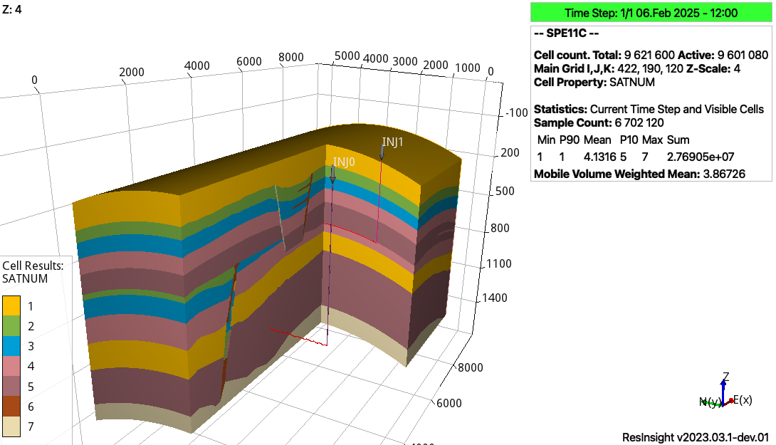
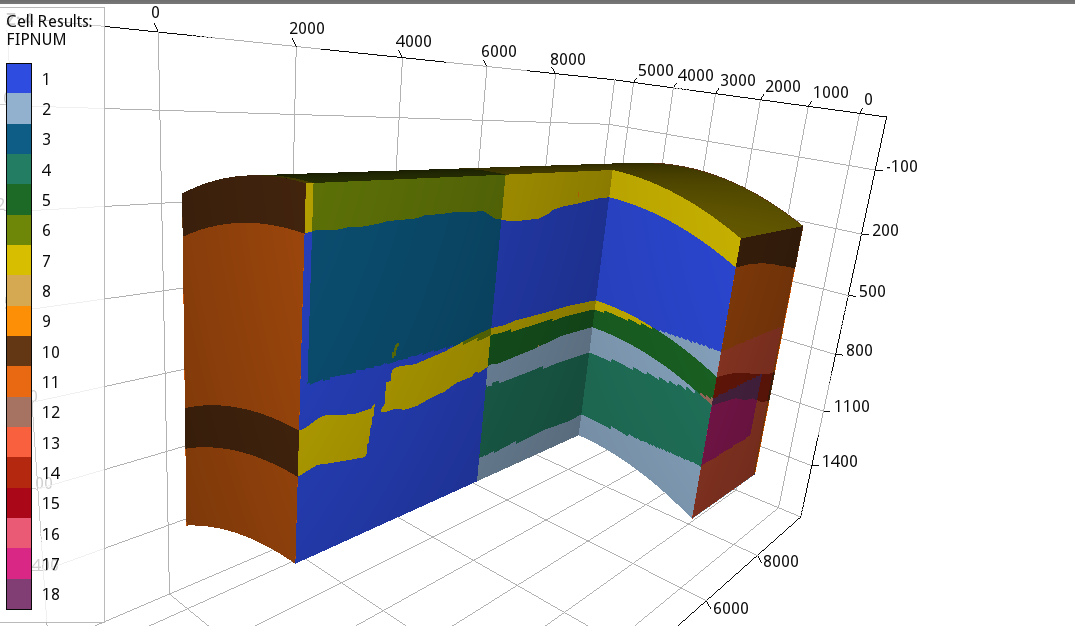
The facies and FIP regions identify geological units, benchmark boxes, sensors, wells, and reporting regions.#
See Modify the grid for a guided workflow and Corner-point grids with 11 and 18 levels for 11-level and 18-level grids.